Condition - Very Good The item shows wear from consistent use, but it remains in good condition and functions properly. Item may arrive with damaged packaging or be repackaged. It may be marked, have identifying markings on it, or have minor cosmetic damage. It may also be missing some parts/accessories or bundled items.
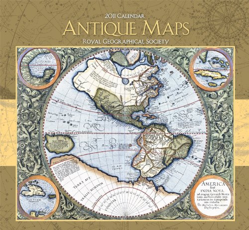
Antique Maps 2011 Calendar
Inspired by voyages of discovery and aided by advances in the technology of printing and engraving, the European maps of the sixteenth through nineteenth centuries are extravagantly rich in historical detail. Evidence of an expanding and ever more sophisticated worldview, they are often amazingly accurate as well. The twelve sixteenth- and seventeenth-century maps reproduced in this calendar--depicting diverse locations the world over, from Africa and Europe to Asia and the Arctic--are from the collections of London's Royal Geographical Society, a leading world center for geographic science and education.
Size: 12 x 13 in.; opens to 12 x 26 in. Printed on FSC certified paper with soy-based ink.