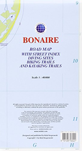
Bonaire : Road Map with Street Index, Diving Sites, Biking Trails, and Kayaking Trails
Product Description
Condition - Very Good
The item shows wear from consistent use but remains in good condition. It may arrive with damaged packaging or be repackaged.
Bonaire : Road Map with Street Index, Diving Sites, Biking Trails, and Kayaking Trails
This is currently (2016) the most up-to-date and only complete road map of Bonaire (Scale 1 : 40 000), as well as the Kralendijk urban area, spanning from Santa Barbara Crowns, through the airport, and all the way to Punt Vierkant (Scale 1 : 15 000). An inset of Rincon (Scale 1 : 12 000) is also included. All maps and insets come with thorough street indexes obtained from our surveys and local government agencies. *** The map shows all the island's known roads and streets with their names, as well as an extensive set of biking routes and kayaking trails. *** ALL OFFICIAL DIVING SITES around Bonaire and Klein Bonaire are displayed, most with their GPS locations, as recorded by STINAPA, the island's official conservation foundation. *** The map is sold folded, measuring 5 1/4" x 9 5/8" ( 13.5 cm x 24.5 cm ) and is designed for easy opening and refolding. Its full unfolded format is 26" x 38 5/8" ( 66 cm x 98 cm ). The map can also be hung on a wall to show the entire island. It offers rich topographic detail in an attractive full color layout with a high-quality glossy finish. *** Most important features: (1) Main and secondary roads; diving, snorkeling, and shipwreck sites; biking, hiking, and kayaking trails; beaches, bays, reefs, and marinas; national parks, protected areas, mountain peaks, and other natural features; caves and fossil sites; bird watching, turtle nesting, butterfly and flamingo areas; Indian inscriptions (petroglyphs), slave camp sites, watermills, and other historic locations; international airport, parking areas, sports arenas, medical centers, lighthouses, gas stations, places of worship, schools, police stations, post offices, and other points of interest; (2) Symbol key and scale; depth curves, soundings, heights, and contour lines in meters, longitude and latitude lines and other identifiers.
Technical Specifications
You might also like

Bonaire Dive Map & Reef Creatures Guide Franko Maps Laminated Fish Card
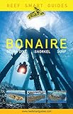
Reef Smart Guides Bonaire: Scuba Dive. Snorkel. Surf.

Bonaire Adventure Map Dive Drive & Bike Guide Franko Maps Waterproof Map

Bonaire Reef Creatures Guide Franko Maps Laminated Fish Card 4" x 6"
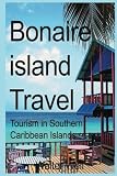
Bonaire island Travel: Tourism in Southern Caribbean Islands

Birds of Aruba, Bonaire, and Curacao: A Site and Field Guide (Zona Tropical Publications)

Lonely Planet Diving & Snorkeling Bonaire

Curacao : Road Map with Street Indexes, Diving Sites, Biking Trails, and Hiking Trails
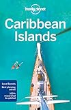
Lonely Planet Caribbean Islands (Travel Guide)