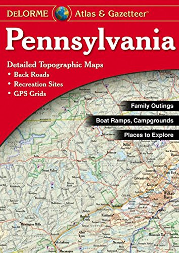
DeLorme® Pennsylvania Atlas & Gazetteer (DeLorme Atlas & Gazetteer)
Product Description
Condition - Very Good
The item shows wear from consistent use but remains in good condition. It may arrive with damaged packaging or be repackaged.
DeLorme® Pennsylvania Atlas & Gazetteer (DeLorme Atlas & Gazetteer)
- Detail commonly includes: Back roads, dirt roads and trails, elevation contours, remote lakes and streams, boat ramps, public lands for recreation, land use / land cover forests, wetlands, agriculture, trailheads, campgrounds, prime hunting and fishing spots.
- Typical Gazetteer categories include: hiking, bicycling, canoeing/kayaking/float trips, museums/historic sites, campgrounds, hunting/fishing, scenic drives, unique natural features, state and national parks and forests.
DeLorme Atlas & Gazetteers Are the Outdoor Enthusiasts' Choice
Amazingly detailed and beautifully crafted, large-format paper maps for all 50 states
Topographic maps with elevation contours, major highways and roads, dirt roads, trails and land use data
Gazetteer section contains information essential for any outdoor enthusiast, such as points of interest, landmarks, state and national parks, campgrounds, boat launches, golf courses, historic sites, hunting zones, canoe trips, scenic drive recommendations and more (Note: available information varies by state)
Perfect for sightseeing, exploring back roads, outdoor recreation and trip planning
The Perfect Companion for Outdoor Recreation and Trip Planning
Rely on DeLorme Atlas & Gazetteer paper maps for the utmost in trip planning and backcountry access. It's available in paperback (11-inches x 15.5-inches) for all 50 states.
Technical Specifications
You might also like
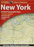
DeLorme® New York Atlas & Gazetteer

DeLorme Ohio Atlas & Gazetteer

DeLorme® Virginia Atlas & Gazetteer (Delorme Atlas & Gazeteer)

Maryland/Delaware Atlas & Gazetteer (Delorme Atlas & Gazetteer)
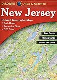
New Jersey Atlas & Gazetteer

DeLorme Maryland/Delaware Atlas & Gazetteer

Oklahoma Atlas and Gazetteer (Delorme Atlas & Gazetteer)

Virginia Atlas & Gazetteer (Delorme Atlas & Gazetteer)
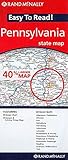
Easy To Read: Pennsylvania State Map (Rand McNally Easy to Read!)