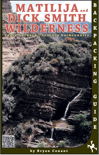
Matilija and Dick Smith Wilderness MAP
Product Description
Condition - Very Good
The item shows wear from consistent use but remains in good condition. It may arrive with damaged packaging or be repackaged.
Matilija and Dick Smith Wilderness MAP
Covering Southwestern of Los Padres National Forest, plus much of San Rafael, Sespe Wildeness, the Ojay Frontcountry, Santa Barbara Frontcountry, Highway 33 corridor, Pine Mountain, Santa Ynes River trail system, Wheeler Gorge, agua Caliente, East Camino Cielo, and Cuyama.Located in the Santa Barbara and Ventura Counties of California.
This 2013 edition was updated after the ZACA fire and was surveyed by foot on the ground method, and complete UTM and latitude/longitute GPS cordinates are provided for accuracy of navigation.
Printed on both sides of waterproof and tear resistant material. Folded.
Technical Specifications
You might also like

Sespe Wilderness Trail Map (Tom Harrison Maps)

Hiking and Backpacking Santa Barbara and Ventura

Santa Barbara Backcountry; San Rafael Wilderness Map

Wilderness Navigation: Finding Your Way Using Map, Compass, Altimeter & Gps (Mountaineers Outdoor Basics)

Los Padres National Forest East (National Geographic Trails Illustrated Map)