Montgomery County, Maryland Street Atlas
Product ID: 076258565X
Condition: USED (All books in used condition)
Payflex: Pay in 4 interest-free payments of R286.25. Read the FAQ
R 1,145
includes Duties & VAT
Delivery: 10-20 working days
Ships from USA warehouse.
Secure Transaction
VISA
Mastercard
payflex
ozow

Product Description
Condition - Very Good
The item shows wear from consistent use but remains in good condition. It may arrive with damaged packaging or be repackaged.
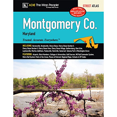
Montgomery County, Maryland Street Atlas
The Montgomery County, MD Atlas is a full-color street atlas, including: Barnesville, Brookeville, Chevy Chase, Chevy Chase Section 3, Chevy Chase Section 5, Chevy Chase View, Chevy Chase Village, Gaithersburg, Glen Echo, Laytonsville, Martins Additions, Poolesville, Rockville, Someset, Takoma Park, and Washington Grove; and features: Airports, Block Numbers, Colleges and Universities, Golf Courses, MD Rail Commuter System, Metro Rail System, Parks and Rec Areas, Places of Interest, Regional Maps, Schools, and ZIP Codes
Technical Specifications
Country
USA
Author
Kappa Map Group
Binding
Paperback
EAN
9780762585656
ISBN
076258565X
Label
Kappa Map Group
Manufacturer
Kappa Map Group
NumberOfPages
112
PublicationDate
2014-03-17
Publisher
Kappa Map Group
Studio
Kappa Map Group