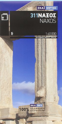
Naxos Terrain Maps: TER.311
Product Description
Condition - Very Good
The item shows wear from consistent use but remains in good condition. It may arrive with damaged packaging or be repackaged.
Naxos Terrain Maps: TER.311
It is waterproof and rip-proof. You can fold and unfold it a thousand times, fold it in irregular ways, dunk it in the sea or leave it out in the rain. This map is indestructible!
It is the first time the island's entire coastline is mapped. Cartography was done with TERRAIN's specially equipped and staffed cartographic vessel. This means that you can locate all beaches of the island, down to the tiniest cove! In fact, the special features of every single beach are recorded: whether it is sandy or pebbled, whether it features natural tree shade, water, a beach bar or organized water sports, whether the seabed in front of the beach is sandy or rocky (so that you will know where to anchor).
It indicates the boundaries of NATURA 2000 areas so that you will know which parts of the island are of special environmental interest and beauty - thus you can enjoy traveling through them, but also take care to protect them.
It features the most complete road network. No matter which corner of the map you search, you will see more roads than on any other map on the market, depicted with all their junctions and dead-ends (as permitted by the map scale without being tedious). Roads related to trails, roads leading to beaches, even roads leading to small hamlets (!) appear for the first time on the SKAI map of Naxos.
It features the climbing crags of Naxos for the first time. The island's marvelous cliffs may not be fully organized and equipped, but rock climbing is sure to be further developed once the word spreads through the climbing community.
The length of all trails is measured in kilometers, so you can estimate the duration of your hike no matter which trail / road combination you follow. Also, it features detailed descriptions of 12 trails on the back, including their total length in kilometers and the duration of the hike, and a map of the Naxos Hora including all useful information and sights.

