
The Ancient Silk Road: An Illustrated Map Featuring the ancient network of routes between China and Europe

Product Description
Condition - Very Good
The item shows wear from consistent use but remains in good condition. It may arrive with damaged packaging or be repackaged.
The Ancient Silk Road: An Illustrated Map Featuring the ancient network of routes between China and Europe
Made famous in the West by the Venetian adventurer Marco Polo, the ancient Silk Road spanned one-quarter of the circumference of the Earth. The network developed over many centuries, and as trading patterns shifted, cities rose and fell in importance. In its heyday it stretched from Luoyang and Xi'an in China, through Central Asia to Istanbul and Rome. For this 2nd Edition, a number of important trade routes dating to more recent centuries are shown, with four detailed maps of the Silk Road’s arteries supplemented by 33 colour photographs and historical notes on key places and notable people.
Technical Specifications
You might also like

The Silk Roads: A New History of the World

The Silk Road: Two Thousand Years in the Heart of Asia

The Lost Heart of Asia

Silk Road Countries Map (English, French and German Edition)

Tajikistan and the High Pamirs: A Companion and Guide (Odyssey Illustrated Guides)
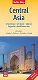
Central Asia Map (2015) (English, French and German Edition)
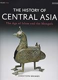
The History of Central Asia, Volume 3: The Age of Islam and the Mongols
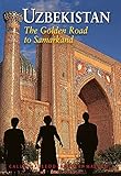
Uzbekistan: The Golden Road To Samarkand (Odyssey Illustrated Guides)