Remote Sensing Analysis in an ArcMap Environment
Product Description
Condition - Very Good
The item shows wear from consistent use but remains in good condition. It may arrive with damaged packaging or be repackaged.
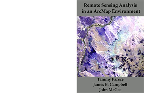
Remote Sensing Analysis in an ArcMap Environment
Remotely sensed images are widely available and have countless potential applications. However, analyzing these images used to be a difficult and expensive process. Now, Esri’s ArcGIS 10.x with Image Analysis extension provides tools that can be used by novice and experienced ArcGIS users alike. In this manual, we provide a series of easy-to-understand tutorials to guide you through image analysis prcocesses. By completing our series of tutorials, you will be able to:
• Manipulate data in ArcGIS
• Obtain and display Landsat imagery
• Enhance and analyze Landsat imagery
With links to online videos and additional resources, this manual will help you develop the skills to apply remote sensing image analysis to your own research questions.
Technical Specifications
You might also like
Working with Lidar using ArcGIS Desktop
Introduction to Remote Sensing, Fifth Edition (5)
GIS Tutorial 2: Spatial Analysis Workbook (GIS Tutorials)

Making Spatial Decisions Using GIS and Lidar: A Workbook

Python: Learn Python in One Day and Learn It Well. Python for Beginners with Hands-on Project. (Learn Coding Fast with Hands-On Project Book 1)
Geospatial Analysis: A comprehensive guide

Python Scripting for ArcGIS
The Esri Guide to GIS Analysis, Volume 2: Spatial Measurements and Statistics
SQL: The Ultimate Guide From Beginner To Expert - Learn And Master SQL In No Time! (2017 Edition)